01Before design
Design-purpose map
Current surveying documentation for the designer, delivered in the agreed format and ready for the next stage of the project.
Ask about this serviceSurveying services · Kraków and Lesser Poland
Design-purpose maps, setting out, as-built surveys, property divisions and boundary work. A clear scope, reliable communication and support from the first measurement to the final documentation.
Accuracy, communication,
accountability.
Most requested
We select the correct procedure for your objective, documents and site conditions. If you are unsure where to begin, a parcel number and a short description are enough.
Current surveying documentation for the designer, delivered in the agreed format and ready for the next stage of the project.
Ask about this serviceTransfer of design axes, points and routes from the approved documentation directly onto the site.
Ask about this serviceMeasurement of completed buildings, utility connections and site development required for the construction completion process.
Ask about this serviceSurveying procedure adapted to the purpose of the subdivision, planning documents and the legal status of the property.
Ask about this serviceAnalysis of records and selection of the appropriate boundary procedure instead of relying on map graphics alone.
Ask about this serviceSurveying support for residential projects, civil engineering structures and larger or unusual assignments.
Ask about this service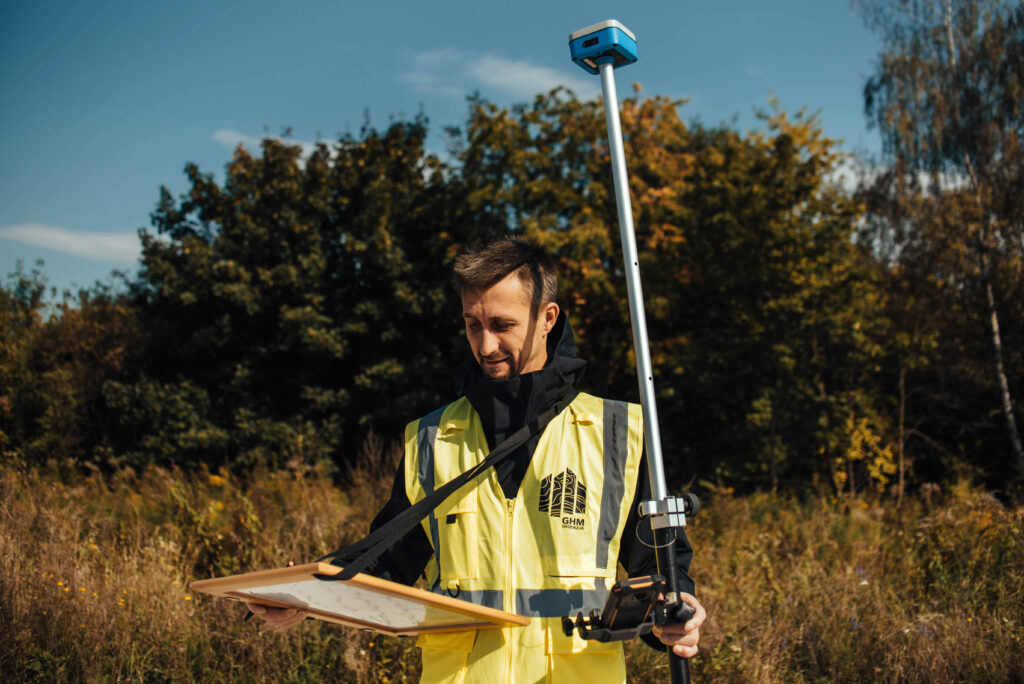
GHM Geodezja · Marcin Halerz
We support private investors, designers and contractors — from preparing design materials, through construction surveying, to as-built documentation. We explain what can be done, which documents are required and which deadlines depend on public authorities.
A clear process
You do not need to know the names of surveying procedures. Describe your objective and we will explain the appropriate scope and next steps.
You provide the location, parcel number and purpose of the work. We establish what is actually required.
You receive a clear scope, an estimated timeframe and a price based on the specific property.
We carry out the survey, analyse the available records and complete the required formal steps.
We deliver the agreed files or documents and explain the next step in your project.
The scope, formal requirements and organisation are agreed individually after reviewing the documentation.
Ask about a projectOn site and in the documentation
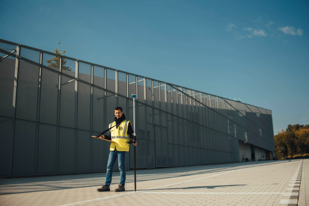
You speak to people who know the scope of the work and can explain the survey results without passing responsibility between departments.
Documented projects
Selected projects documented with GHM materials — from residential construction to railway infrastructure.
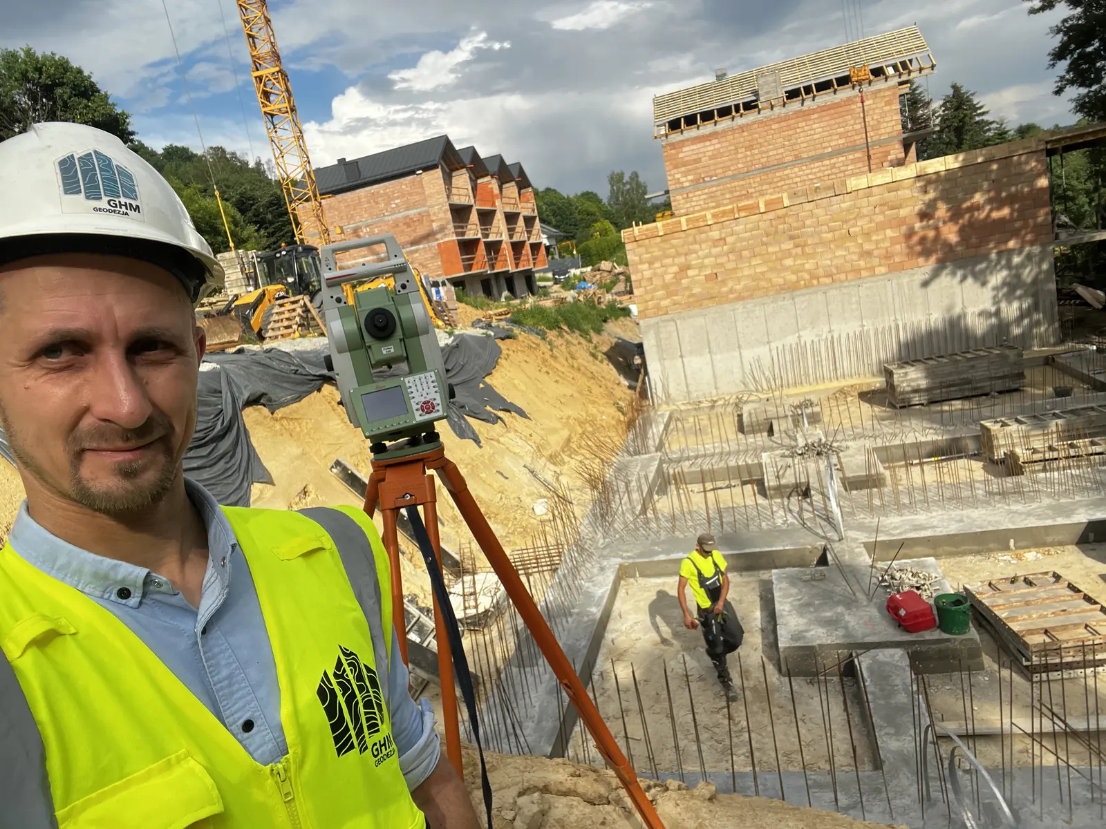
Measurements during the foundation works stage.
View project (in Polish)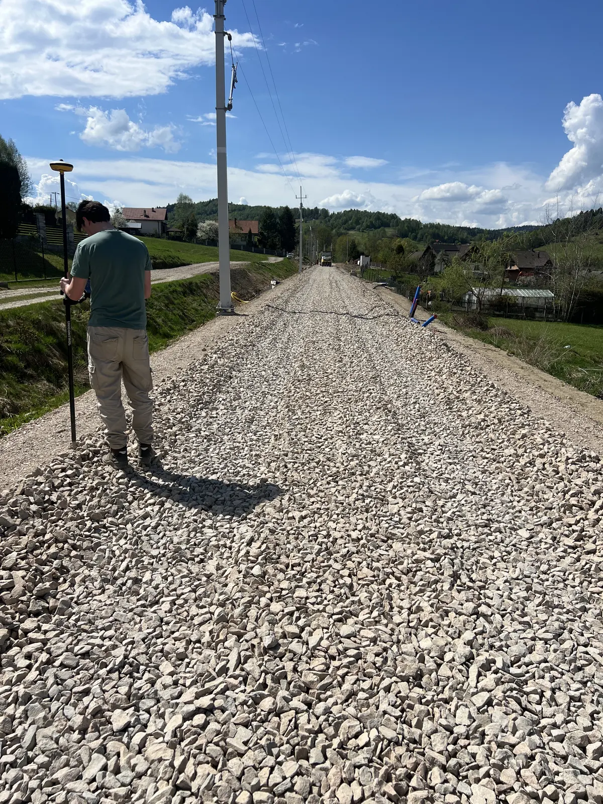
Surveying support within a railway investment corridor.
View project (in Polish)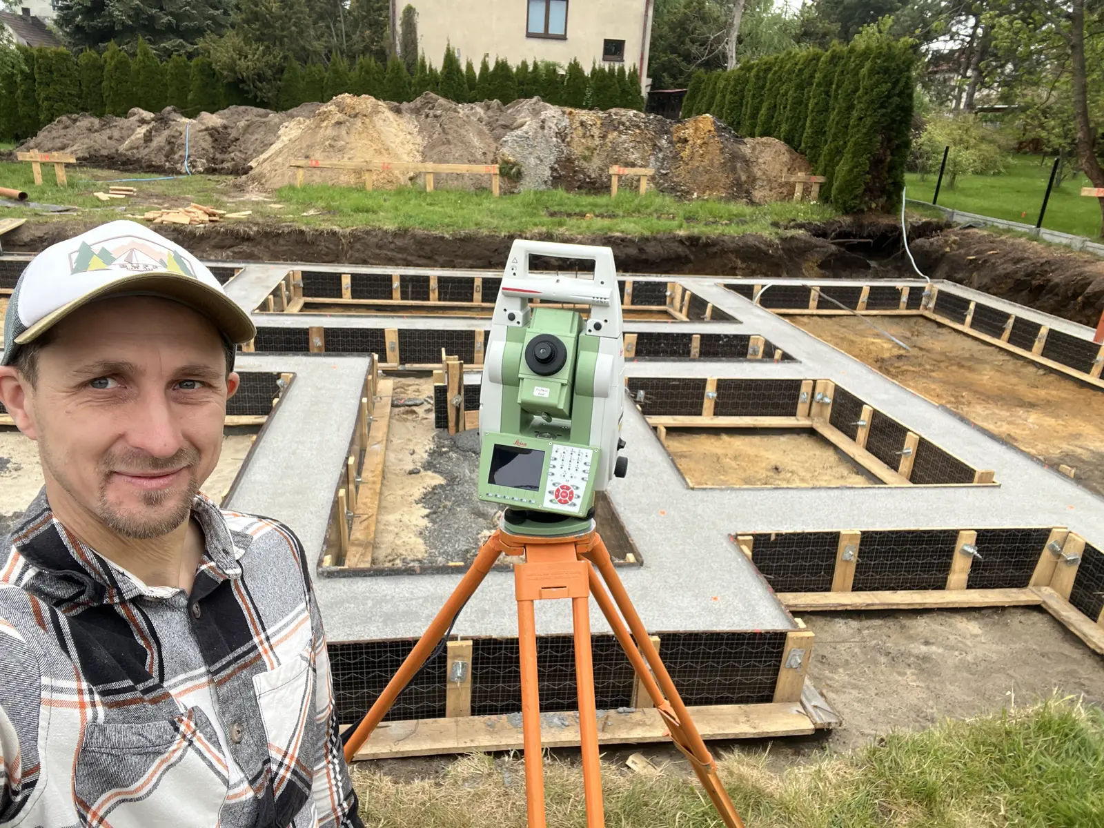
A residential project documented with photographs from the construction site.
View project (in Polish)Client reviews
★★★★★“Very professional service and pleasant cooperation. The map was delivered very quickly.”
★★★★★“Fast completion of the assignment and a helpful company.”
“Clients highlight clear arrangements, punctual site visits, readable documentation and information about the next steps.
Service area
We most frequently work in Kraków and the surrounding districts, including the Kraków, Wieliczka, Myślenice, Wadowice and Bochnia areas.
Full service area (in Polish)Frequently asked questions
Clear answers without unnecessary jargon. If your situation is not covered below, call us — a few minutes are often enough to identify the next step.
+48 696 131 109The most useful details are the town, parcel number and cadastral district, the type of planned project and the expected timeframe. If some details are unknown, start with the address or a Geoportal link.
The timeframe depends on the type of work, access to official records, the survey scope and administrative procedures. After checking the location, we provide a realistic time range.
Usually yes. Before the visit, we confirm whether a gate must be opened, occupants informed or access provided to utility features and survey points.
The format depends on the work and the designer’s needs. PDF and a vector format such as DWG or DXF are commonly agreed where the scope allows it.
Our core area is Kraków and Lesser Poland. Larger or specialist projects in other regions are assessed individually.
Free quotation
A parcel number, cadastral district or Geoportal link is the most helpful. If you do not have it, provide the address and a short description.